
Land and cadastral surveys
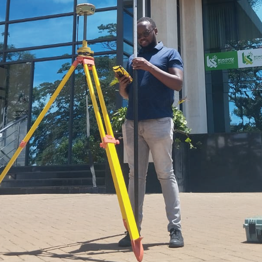
Land survey is a process of accurately measuring and mapping the boundaries, contours, and physical features of a specific parcel of land while Cadastral surveys focuses on mapping and recording land ownership, boundaries, and rights of land parcels within a specific area. Cadastral surveys play a vital role in establishing legal boundaries, resolving property disputes, and ensuring the proper management and utilization of land resources.
These surveys are crucial for property owners, real estate developers, architects, engineers to understand the land’s characteristics and plan construction projects, property divisions, land use changes, government agencies, land administrators, and legal authorities to maintain records of land ownership, taxation, land use planning, and property rights.
In summary, land surveys deal with the physical attributes and boundaries of land, while cadastral surveys involve legal and administrative aspects related to land ownership, boundaries, and rights. Both types of surveys are essential for effective land management, development, and regulatory compliance.