
Aerial surveys

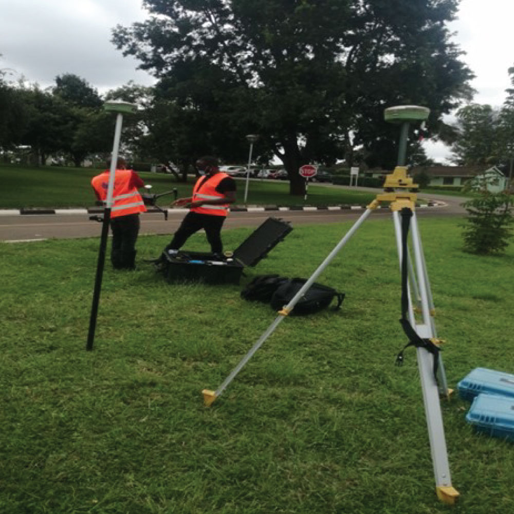
Aerial surveys involve the use of aircraft or drones equipped with specialized sensors and cameras to capture detailed aerial imagery and data of the Earth’s surface. These surveys are valuable in various industries and applications due to their ability to provide comprehensive and high-resolution information over large areas. Here are key aspects of aerial surveys:


- Purpose:
- Aerial surveys serve multiple purposes, including mapping, monitoring, and assessment of land, infrastructure, natural resources, and environmental conditions.
- They are used in industries such as urban planning, agriculture, forestry, environmental management, engineering, archaeology, and disaster response.
- Types of Aerial Surveys:
- Orthophoto Surveys: Capture high-resolution aerial photographs that are geometrically corrected to remove distortions, resulting in accurate and detailed maps.
- LiDAR Surveys: Use Light Detection and Ranging (LiDAR) technology to measure distances and create 3D models of terrain, vegetation, buildings, and other features.
- Thermal Imaging Surveys: Capture infrared radiation to analyze temperature variations, which is useful for environmental monitoring, energy audits, and infrastructure inspections.
- Multispectral Surveys: Capture images across multiple spectral bands to analyze vegetation health, soil composition, water quality, and land use patterns.
- Data Collection:
- Aerial survey platforms, such as manned aircraft or drones, are equipped with cameras, LiDAR sensors, thermal cameras, or multispectral sensors.
- The survey is carefully planned to ensure optimal coverage, resolution, and accuracy of the collected data.
- Advanced GPS and navigation systems are used to precisely position the survey platform and synchronize data capture.
- Data Processing and Analysis:
- Aerial survey data is processed using specialized software to generate orthophotos, 3D models, point clouds, digital elevation models (DEMs), and thematic maps.
- Image analysis techniques, GIS (Geographic Information System) tools, and machine learning algorithms are used to extract valuable insights and information from the aerial data.
- Benefits:
- Provides up-to-date and detailed information about land features, vegetation, infrastructure, and environmental changes.
- Facilitates accurate mapping, planning, and decision-making in various industries.
- Offers cost-effective and efficient data collection over large and inaccessible areas compared to ground-based surveys.
Overall, aerial surveys are powerful tools for obtaining comprehensive spatial data, monitoring changes over time, and supporting informed decision-making across a wide range of applications and industries.