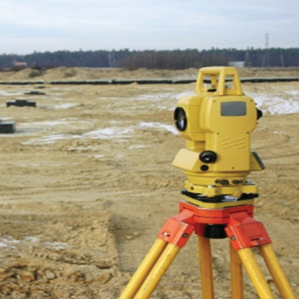
A topographical survey is a detailed mapping of the terrain and features of a piece of land. It involves measuring and mapping the elevation, contours, natural and man-made features, such as buildings, roads, trees, and bodies of water. These surveys are crucial for various purposes, including urban planning, engineering projects, construction, land development, and environmental assessment. They provide accurate data about the land’s characteristics, which helps in making informed decisions and designing projects effectively. Topographical surveys are typically conducted using advanced surveying equipment like total stations, GPS devices, and drones to ensure precision and reliability in the collected data.